
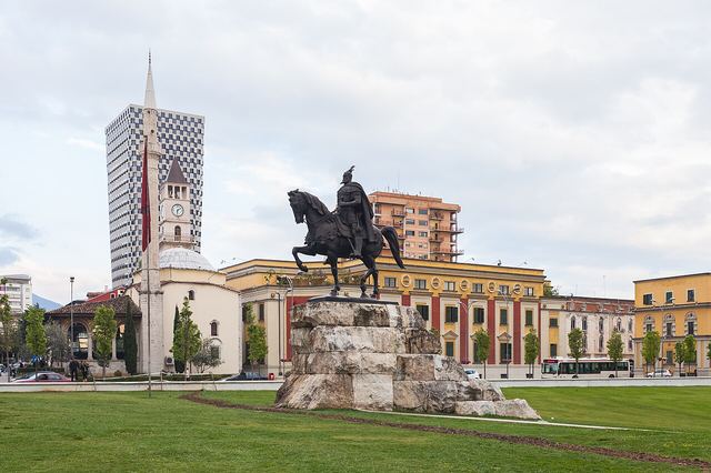
Skanderbeg Square & Et'hem Bey Mosque
The main square, with a small mosque built from the 1790s to about 1820. Inside and under the porch, its painted walls show trees, waterfalls and bridges.
Tiranë County · Centre
41.33°N 19.82°E · Last checked: Nov 2026
The capital: colourful, loud and changing fast. Cold War bunkers turned into museums, a cable car up Mount Dajti and the café life of Blloku.
10 places
The highlights in and around Tirana, in our own words.
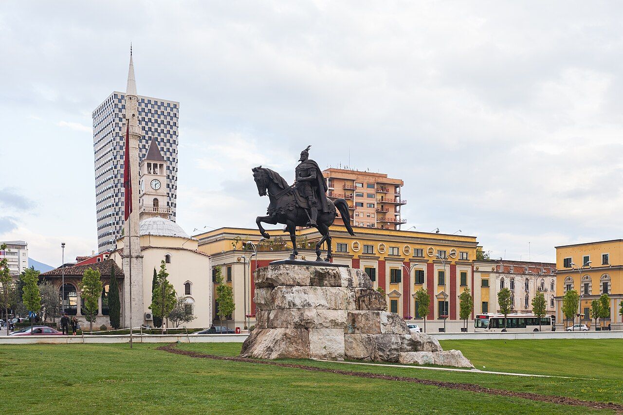
The main square, with a small mosque built from the 1790s to about 1820. Inside and under the porch, its painted walls show trees, waterfalls and bridges.
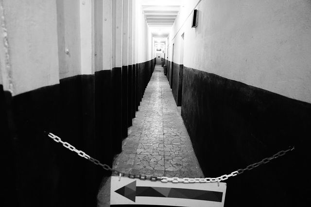
Bunk'Art 1 is Enver Hoxha's own Cold War bunker on the edge of town, near the Dajti cable car (opened 2014). Bunk'Art 2, in the centre, is about the secret police, the Sigurimi (opened 2016).
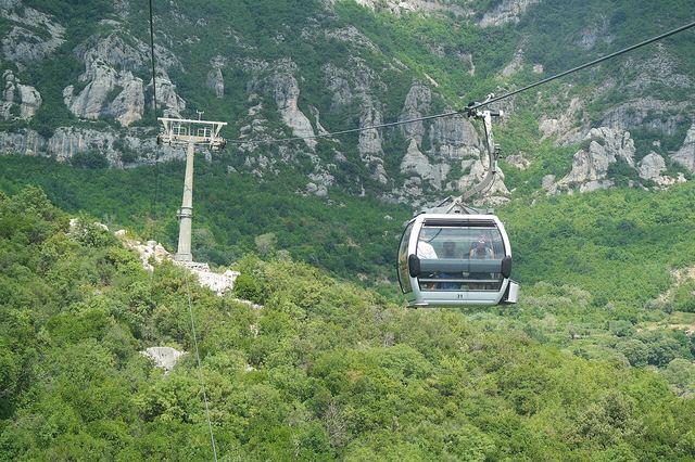
A ride of about 15 minutes and 4.7 km up Mount Dajti, with views over the whole city. Closed on Tuesdays and for maintenance each year from late November to early December.
Once reserved for the communist leadership, now the city's main area for cafés, bars and nightlife.
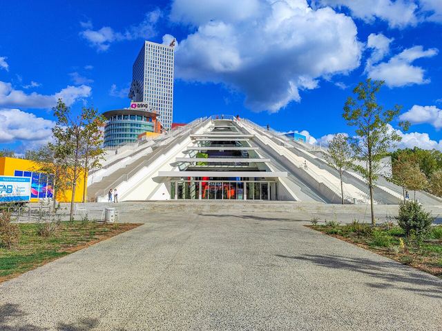
Opened in 1988 as a museum to Enver Hoxha. Rebuilt and reopened in 2023 as TUMO, a tech and arts centre for young people. You can walk up its steps.
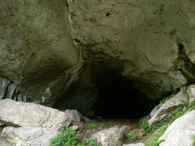
A large cave about 25 km south-east of Tirana, on the side of the Erzen valley, reached through the village of Pëllumbas. People used its entrance more than 10,000 years ago, and Albanian cavers first studied it in 1995.
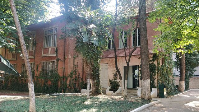
The Museum of Secret Surveillance, in a villa covered in climbing plants that was built in 1931 as Albania's first private maternity clinic. The Gestapo used it in the war, and the communist secret police ran it as a listening centre until 1991. Its 31 rooms show bugging devices, a darkroom and original files. It opened in 2017 and won the Council of Europe Museum Prize in 2020.
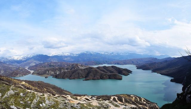
A reservoir in the hills about 15 km north-east of the city, inside Dajti National Park, which supplies most of Tirana's drinking water. Swimming isn't allowed. The best views are from Ballkoni Bovillë on Mount Gamti, a steep 20–30 minute climb with metal stairs. Much of the road is rough dirt track, so go with a 4x4 tour or a high car. Allow half a day.
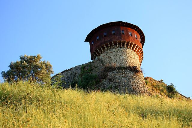
A triangular castle with two towers above the village of Petrelë, a short drive south of the city, looking over the Erzen valley and olive groves. First built in the 6th century, it got its present walls in the 15th, when it was part of a chain of fire signals linked to Krujë Castle in Skanderbeg's time. There's a restaurant on the hill.
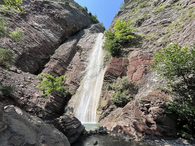
A mountain village about 40 km east of the city, on the upper Erzen river below the Mali me Gropa plateau. The tourism agency lists a waterfall, caves and castle ruins nearby, which makes it a good day out for walkers.
9 sights with a pin
Zoom with the + and − buttons, two fingers, or Ctrl and the mouse wheel. See it on the big map with the places nearby · Open in OpenStreetMap
When to go
In short: Apr–Jun, Sep–Oct. Peak months are hot or crowded; the quiet season can mean closed guesthouses and fewer buses.
History
Travel
Nearby
 Durrës County
 Elbasan County
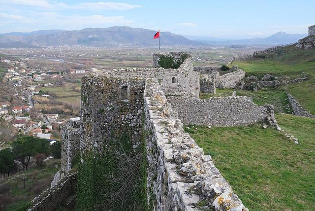 Shkodër County
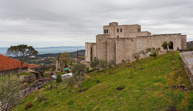 Durrës County
Every place we've written up, from the Alps to the Riviera.
Written in our own words. The facts were checked against these pages in Nov 2026. Prices and timetables change, so confirm them locally before you travel.


