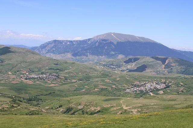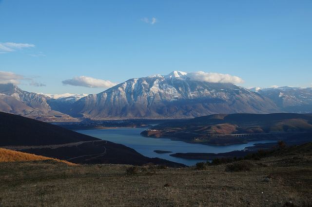
Kukës County · North-east

Kukës

42.08°N 20.42°E · Last checked: Nov 2026

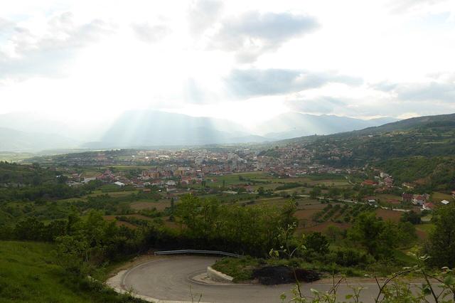
A lakeside town near Kosovo, rebuilt on a plateau after the old town went under a reservoir in the 1970s. In 1999 about half a million refugees from the Kosovo war crossed into the area, and the town is a gateway to wild mountains.
From Tirana
About 2.5 h
Best time
May–Sep
Good for
Lakes, mountains, road trips
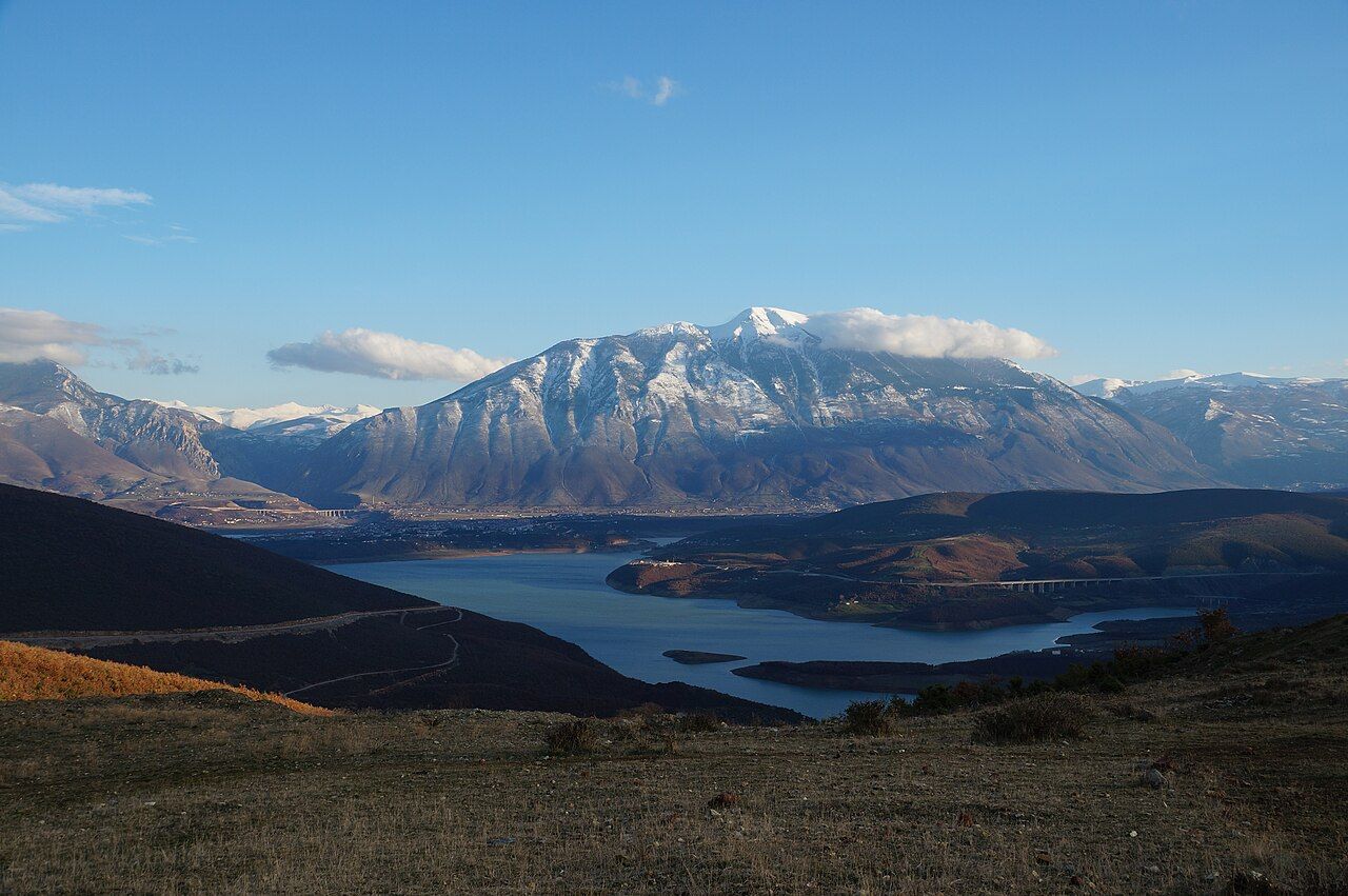
Kukës by Lake Fierza, with snow on Mount Gjallica behind
Photo: Albinfo, CC BY 4.0, via Wikimedia Commons

4 places

Places to visit

The highlights in and around Kukës, in our own words.

Lake Fierza, Kukës
Photo: Albinfo, CC BY 4.0, via Wikimedia Commons
Lake · half day

Lake Fierza

The reservoir that flooded the old town in the 1970s. Swimming is popular in summer.

Bunker · guided tour

Underground City

A Cold War shelter about 30 m under the town, open only on organised tours.
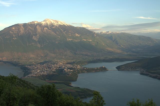
Gjallica, Kukës
Photo: Elsa.Cengu, CC BY-SA 4.0, via Wikimedia Commons
Hike · full day

Gjallica

The highest mountain around Kukës, at 2,468 m. Go with a local guide.

Nature · half day

Bad Stairs canyon

A canyon near Bicaj, about 30 minutes away by car.

3 sights with a pin

On the map

Zoom with the + and − buttons, two fingers, or Ctrl and the mouse wheel. See it on the big map with the places nearby · Open in OpenStreetMap

When to go

Best in May, June, July and August

In short: May–Sep. Peak months are hot or crowded; the quiet season can mean closed guesthouses and fewer buses.

History

A short history

  1. The Fierza dam's reservoir floods the old town. A new town is built on a plateau above the water.
  2. About 500,000 refugees from the Kosovo war cross the border here and stay in camps around Kukës.
  3. Kukës is nominated for the Nobel Peace Prize, reportedly the first town ever nominated.
  4. The Nation's Road motorway links it to Tirana and Kosovo.

Travel

Getting there

  • From Tirana: about 2.5 h by bus or car on the A1 toll motorway (Rruga e Kombit). Buses run about hourly, 06:00–19:00.
  • From Kosovo: the A1 continues to Prishtina, and the SH23 leads to Gjakova.
  • Buses often stop outside the centre. Agree taxi fares before you get in.

Official timetable

Buses to and from Kukës

Licensed departures from the official timetable. Times are local Albanian time.

From Tiranë Veri-Jug to Kukës
about 2 h 50 min · 142 km · 14 a day

  • 06:00
  • 07:00
  • 08:00
  • 09:00
  • 10:00
  • 11:00
  • 12:00
  • 13:00
  • 14:00
  • 15:00
  • 16:00
  • 17:00
  • 18:00
  • 19:00

Operators: LACI KOMPANI, BIT + D 2010

From the register of licensed intercity lines on etransport.al (Albania's road transport directorate), downloaded 21 Nov 2026. Furgons and local lines aren't listed, and times change, so confirm at the station or with your guesthouse.

Nearby
Places nearby

MountainsDibër County

Peshkopi

A green mountain town about 20 km from the border with North Macedonia, below Mount Korab, Albania's highest peak. Known for its sulphur hot springs, its linden-lined main street and the Lura lakes.
MountainsShkodër County

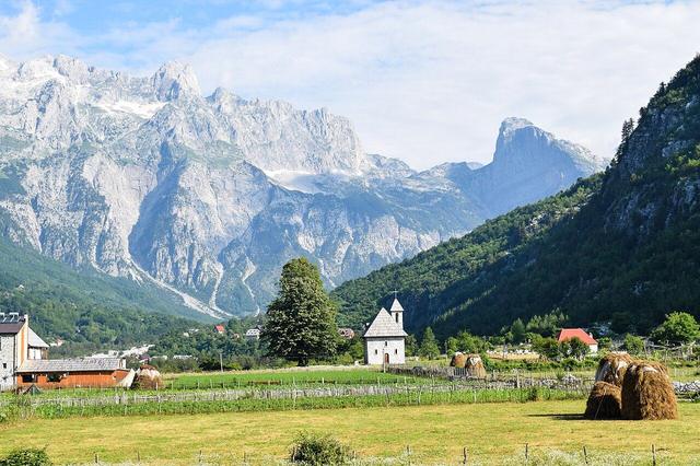
Theth

A stone village about 750 m up in a high valley of the Albanian Alps, ringed by peaks. The start of the Theth–Valbona hike, with waterfalls, a blue spring and family guesthouses. Snow usually blocks the road in winter.
TownLakesShkodër County

Shkodër

Albania's northern cultural capital, on the shore of the largest lake in Southern Europe. It's also the base for trips into the Albanian Alps, the Komani Lake ferry and Theth.
LakesMountainsShkodër County

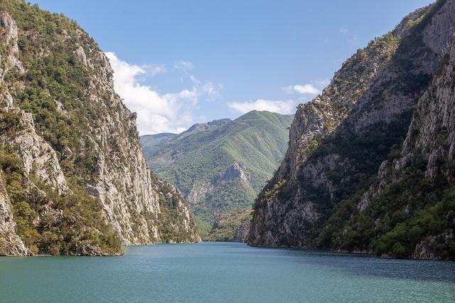
Lake Koman

A long, narrow reservoir on the Drin, squeezed between steep forested cliffs that are often compared to fjords. The summer ferry from Koman to Fierzë, about 2.5–3 hours, is one of Albania's best-loved trips and the scenic way to Valbona.
MountainsKukës County

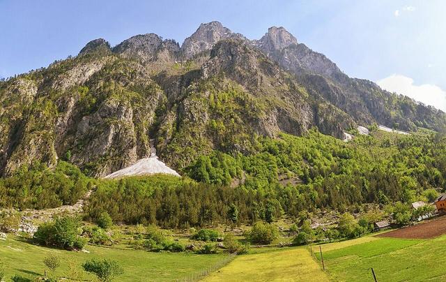
Valbona

A long green valley in the Albanian Alps, about 1,000 m up, with a clear river running below big limestone peaks. Family guesthouses, forest walks and the hike over the pass to Theth. Most people arrive on the Lake Koman ferry.
MountainsKukës County

Shishtavec

A high village of the Gora region near the Kosovo border, at about 1,300 m. Most people here are Gorani, a Muslim community whose home region lies on both sides of the border. Potato fields and a long local love of skiing give it a character of its own.
41
guides

Every place we've written up, from the Alps to the Riviera.

See them all

Sources

Written in our own words. The facts were checked against these pages in Nov 2026. Prices and timetables change, so confirm them locally before you travel.